


De La farlède au plateau de Mourras

FSantoni
User


Length
12.9 km

Max alt
526 m

Uphill gradient
583 m
Km-Effort
21 km

Min alt
90 m

Downhill gradient
583 m
Boucle
Yes
Creation date :
2023-06-11 06:00:49.144
Updated on :
2023-06-11 17:49:20.516
6h16
Difficulty : Very difficult

FREE GPS app for hiking
 SityTrail
IGN / Geographical institutes
SityTrail Plus
The world is yours!
About
Trail Walking of 12.9 km to be discovered at Provence-Alpes-Côte d'Azur, Var, La Farlède. This trail is proposed by FSantoni.
Description
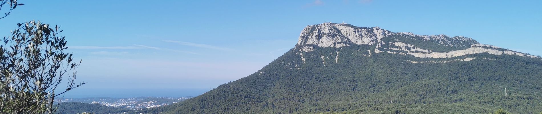
Bien ombragée, trés agréable.
Photos


Positioning
Country:
France
Region :
Provence-Alpes-Côte d'Azur
Department/Province :
Var
Municipality :
La Farlède
Location:
Unknown
Start:(Dec)
Start:(UTM)
259347 ; 4783707 (32T) N.
Comments